Dushanzi-Kuqa Highway
It's his first time to travel on the Dushanzi-Kuqa Highway, dubbed one of "China's most beautiful highways", after Zhu Youzhong, 63, paved the road in northwest China's Xinjiang Uygur Autonomous Region four decades ago.
Starting from Dushanzi, Zhu passes the first Daban, a Uygur word for "mountain pass", and sees a monument which says "guarding the road on the Tianshan Mountain" by the roadside. The sight brings back a flood of memories of constructing the "heavenly road".

A monument by the roadside. It reads "guarding the road on the Tianshan Mountain".
Construction of the highway started in 1974, and Zhu toiled for a decade on the construction site. Driving on the then gravel-paved but now asphalt-paved road, he can't help talking on and on about his early life as a construction worker here.
"Countless people contributed to the highway project. It was extremely difficult to build the road," he says.


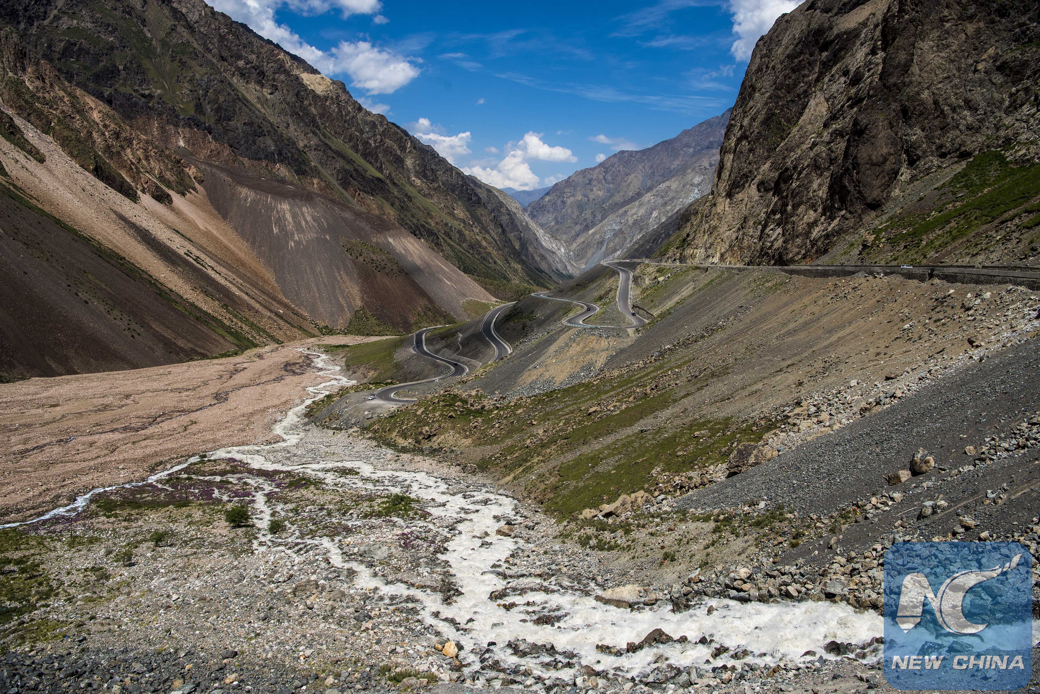
Winding sections of the highway
Winding through the Tianshan Mountain, the 561-km Dushanzi-Kuqa Highway links Dushanzi, an oil rich town, and Kuqa, an ancient town on the Silk Road. Enjoying beautiful sceneries of mountains, valleys, steppes and rivers along the way, the highway is part of the National Highway G217 and a key link between northern and southern Xinjiang.
Before its completion in 1983, there was only one highway connecting the two parts of the region, which takes a detour to Urumqi, capital of the autonomous region, and thus is more than 1,000 km long. The Dushanzi-Kuqa Highway, however, saves half the trek.

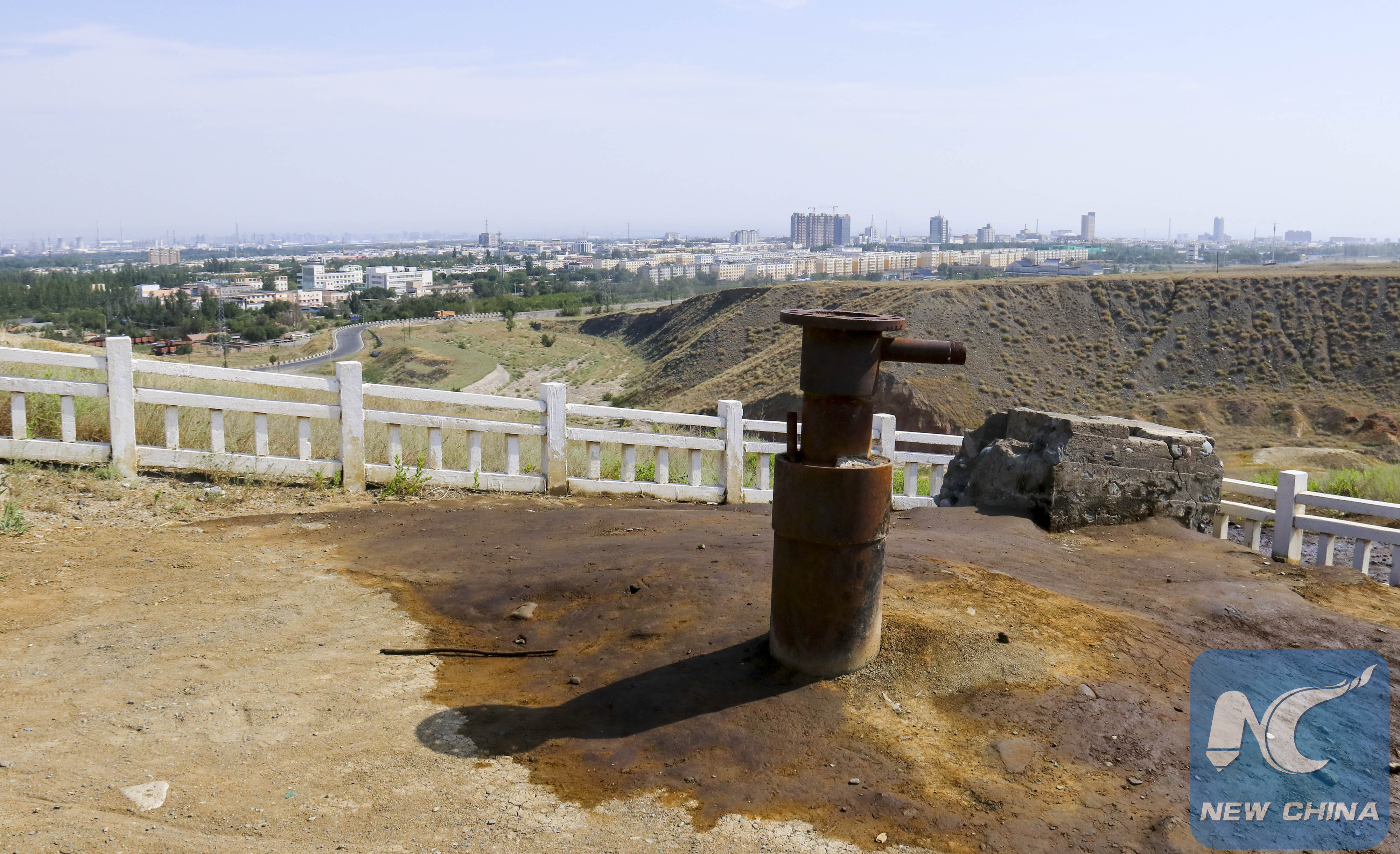
A deserted oil well in oil rich Dushanzi, starting point of the highway
But construction was not easy, as Zhu recalls. The highway runs at an altitudes above 2,000 meters for 280 km, and four Daban sections are above 3,000 meters. At the Hashilgin Daban tunnel, which means "impassable mountain pass", the altitude reaches 3,390 meters. It was once China's highest tunnel. The highway passes five rivers.

The Hashilgin Daban tunnel

The section under the Hashilgin Daban

The highway runs through steppes.
Driving for 130 km, Zhu's car arrives at a cemetery, where the old man has longed for a visit. Here rest 168 workers who worked with Zhu but died in avalanches or mudslides during the decade-long construction of the dangerous highway.
Zhu places a wreath at the tomb. "It's sad that they sacrificed their lives, but their efforts are paid off," he says. "The highway halves the two-day trip from north to south, and greatly facilitates local people's traveling."


File photos taken in the 1970s show how challenging it was to build the highway.
"The more beautiful a road is, the more dangerous it will be," says Ma Peng, a 22-year-old cyclist.
It's his third ride on the highway. "It's a real track for cycling," he says. He comes here to cycle every year "because it is not only a road of beautiful scenery but also a road of heroes."
"It's hard to imagine how they managed to build a road here," he says.

Glaciers near the highway

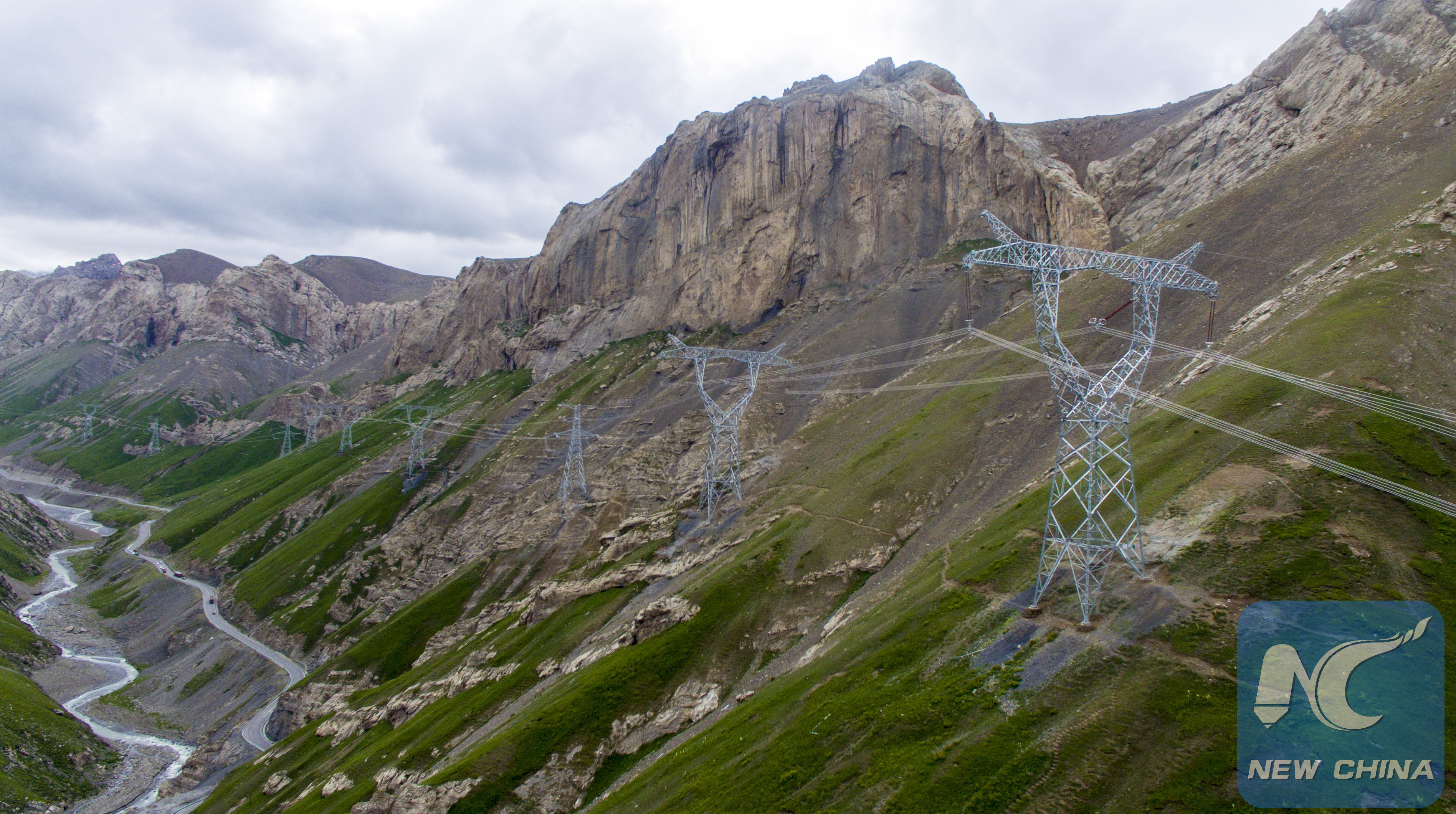
Beside the highway, power transmission lines go through the mountains, bringing electricity to remote areas.
Today the "road of heroes" has also become an important road of tourism. Stretching through the famous Tianshan Mountain and connecting natural scenic spots like the Bayan Bulag grassland, the highway attracts more and more tourists.

The highway winds through the Bayan Bulag grassland.
"I earn more in the January-February period in recent years than a whole year's income in the past," says Nurbahti, a local herder.
He has been running a restaurant by the roadside for three years. "I'm so busy receiving guests now that I don't have time to go home," he says. "The highway brings us more money."
(All photos by Jiang Wenyao)

