


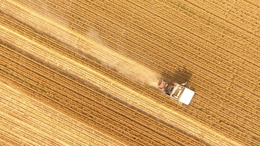
 A farmer harvests wheat in Xinghuliu Village of Liaocheng City, east China's Shandong Province, June 17, 2019. (Xinhua/Zhao Yuguo)
BEIJING, Jan. 11 (Xinhua) -- An international team of researchers has released a set of high-precision maps of global agricultural production, providing data support for sustainable development, according to the Chinese Academy of Agricultural Sciences (CAAS).
Researchers from the CAAS, the International Food Policy Research Institute and other international research institutes collected data on agricultural production in 186 countries. They mapped the spatial distribution of 42 major crops, such as rice, wheat and corn, around the world, including the data on the crops' area, total yield and per-unit yield.
According to Yu Qiangyi, a researcher from the CAAS, information on the spatial distribution of crops is of great significance for strengthening the management of crop production, regulating the grain market and ensuring sustainable development. However, mapping the distribution of crops on a global scale is challenging.
Compared with previous data products, the maps have been improved in terms of accuracy, coverage and availability, providing data support for the assessment of the United Nations Sustainable Development Goals.
The research was published in the journal Earth System Science Data. ■
